
Greater Victoria Landscape Group
Regenerate Victoria
A Regenerate Cascadia landscape group on southern Vancouver Island.
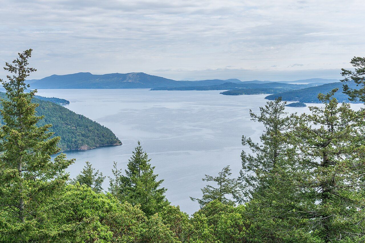
Saanich Inlet from Gowlland Tod Provincial Park. Photo: Michal Klajban, CC BY-SA 4.0, Wikimedia Commons, resized and recompressed.

We gather on the traditional lands of the BOḰEĆEN, MÁLEXEȽ, Pacheedaht, Sc'ianew, Songhees, SȾÁUTW̱, T'Sou-ke, W̱JOȽEȽP, and W̱SIḴEM peoples.
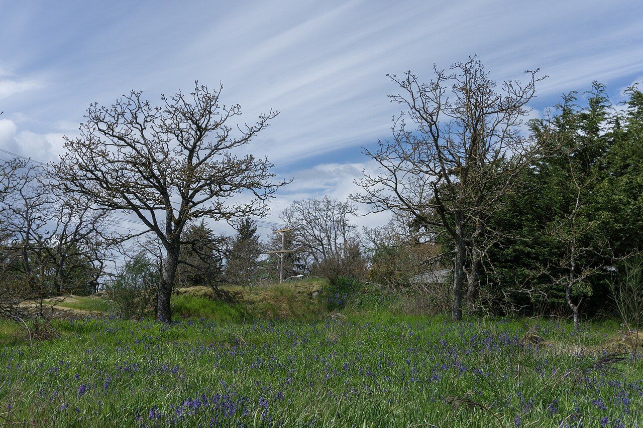
Greater Victoria sits on the southern tip of Vancouver Island, in the rain shadow of the Olympic Mountains. Garry oak meadows and camas prairies, arbutus forests, salmon creeks and the shores of the Salish Sea are parts of one living system.
Regenerate Victoria is the Greater Victoria landscape group of Regenerate Cascadia. It looks at the region through a bioregional lens, treating its questions as connected parts of that system rather than separate issues.
The living map
Greater Victoria open map
Watersheds and creeks with their flow direction, parks, ecosystems, air photos from 1932 and 1950, herring spawn records, live weather and water data, and the sea around us, with every data source credited.
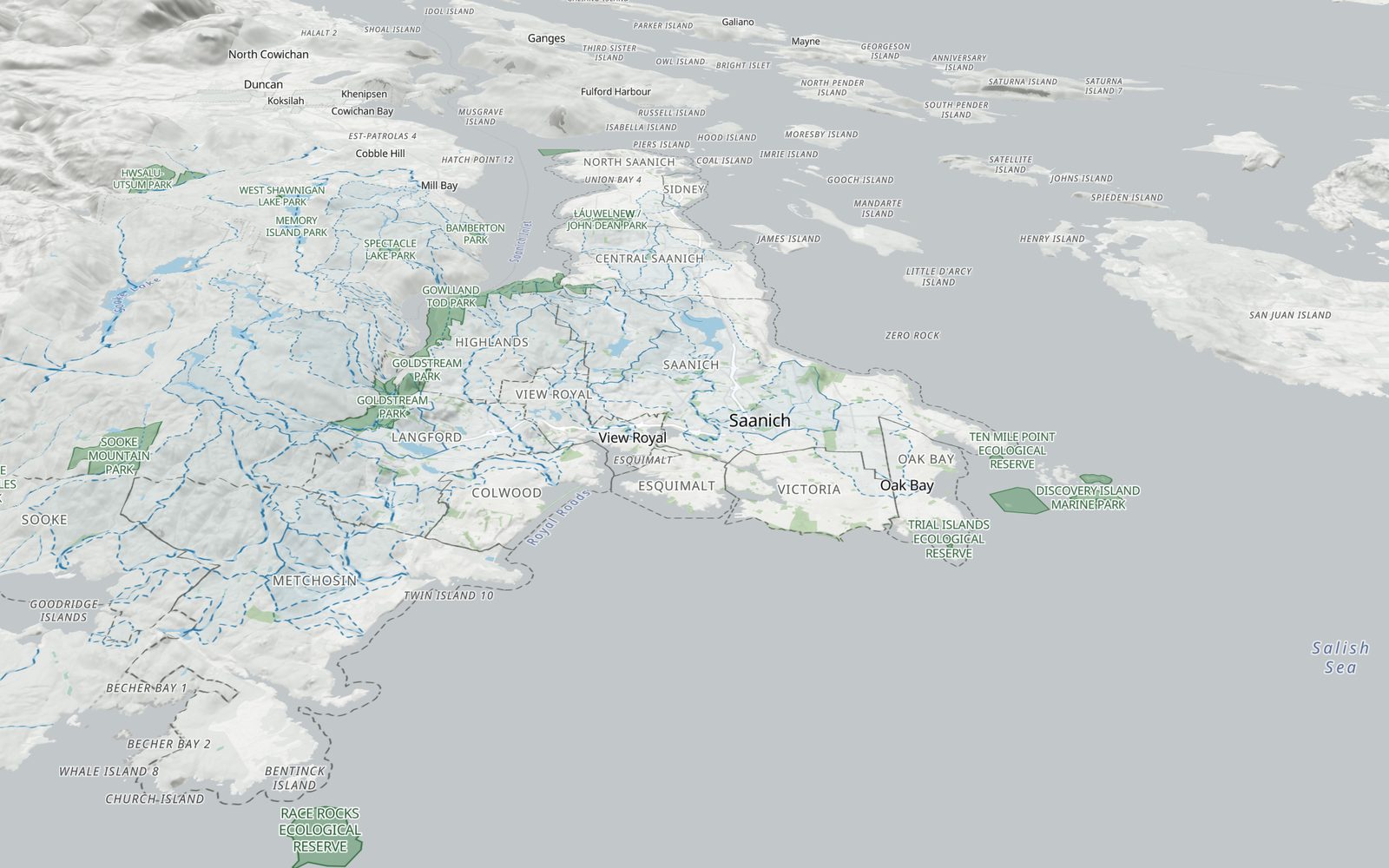
Render of the Greater Victoria open map. Base map: OpenFreeMap, © OpenMapTiles, data © OpenStreetMap contributors. Terrain: AWS Terrain Tiles (OGL – Canada, USGS, NOAA). Creeks, watersheds and parks contain information licensed under the Open Government Licence – British Columbia; parks also under the open licences of Victoria, Saanich and the Islands Trust.
News
-
An open map of Greater Victoria
A first open map of the region's watersheds, creeks, parks and ecosystems, built from public data and open-source code.
-
Bioregional financing at the Victoria Forum
Regenerate Cascadia led a panel at Victoria Forum 2026 on what it will take to finance regeneration across Cascadia.
-
Regenerate Cascadia welcomes Greater Victoria as a landscape group
Regenerate Cascadia welcomed Regenerate Victoria as a landscape group in its Cascadia BioRegen Program.
Stay in the loop
Occasional notes on events, mapping and ways to take part.