
Credits
Where every photo, font and piece of code on this site comes from, and its licence.
Photos
Only real photographs are used, never generated images. Each one is used under its licence and credited here and where it appears.
-
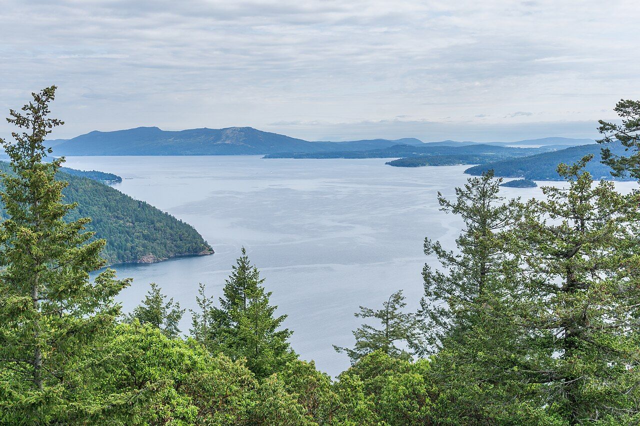 Saanich Inlet from Gowlland Tod Provincial Park
Photo: Michal Klajban, CC BY-SA 4.0, Wikimedia Commons, resized and recompressed. -
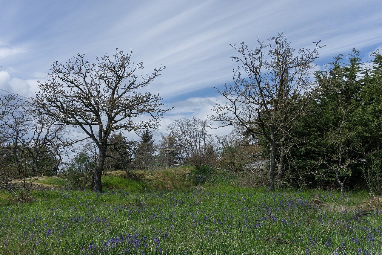 Garry oaks and camas, Camas Park, Saanich
Photo: Michal Klajban, CC BY-SA 4.0, Wikimedia Commons, resized and recompressed. -
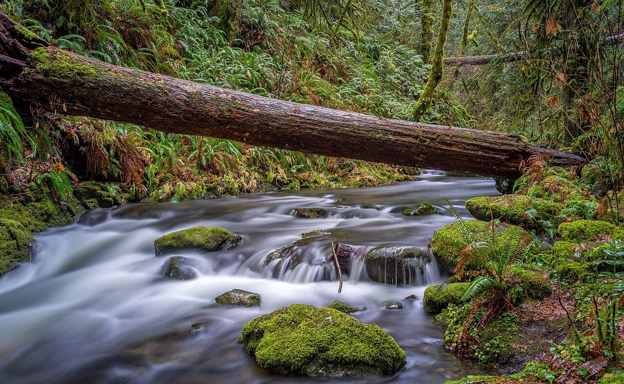 Goldstream River, Goldstream Provincial Park
Photo: Cory Schadt, CC0 1.0, Wikimedia Commons, resized and recompressed. -
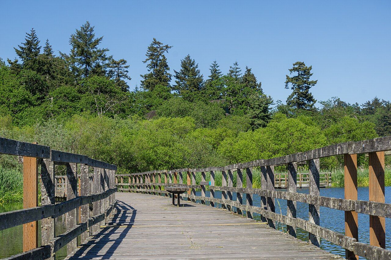 Boardwalk, Swan Lake Christmas Hill Nature Sanctuary
Photo: Michal Klajban, CC BY-SA 4.0, Wikimedia Commons, resized and recompressed. -
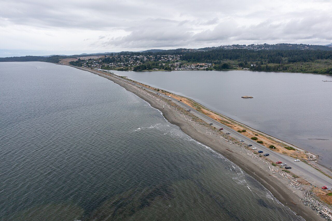 Esquimalt Lagoon and Coburg Peninsula from the air
Photo: Kyle Wilson, CC BY-SA 4.0, Wikimedia Commons, resized and recompressed.


Fonts
Noto Sans and Noto Serif, by the Noto Project Authors, under the SIL Open Font License 1.1. They were chosen because they render the SENĆOŦEN and Lekwungen letters in the land acknowledgement correctly. The site ships a subset covering Latin, Latin Extended and combining marks.
Map
The map has its own credits for every layer, under "Data and credits" inside the map. The preview image on the home page is a render of that map. Base map: OpenFreeMap, © OpenMapTiles, data © OpenStreetMap contributors. Terrain: AWS Terrain Tiles (OGL – Canada, USGS, NOAA). Creeks, watersheds and parks contain information licensed under the Open Government Licence – British Columbia; parks also under the open licences of Victoria, Saanich and the Islands Trust.
Code
The site is built from an open bioregion website template under the MIT licence. Markdown is rendered with marked (MIT).